Exploring Maps in Year 3 & 4 Geography!
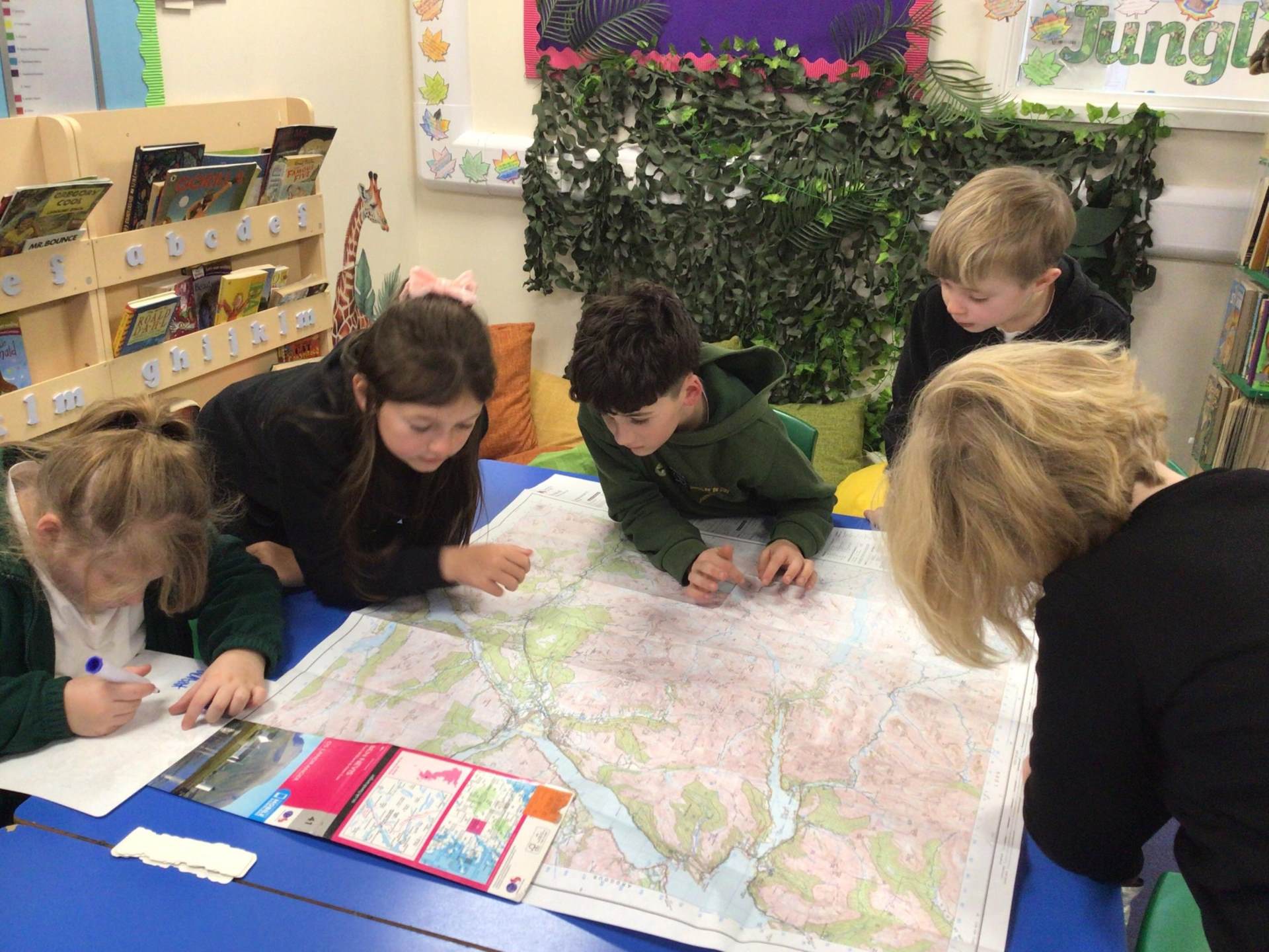
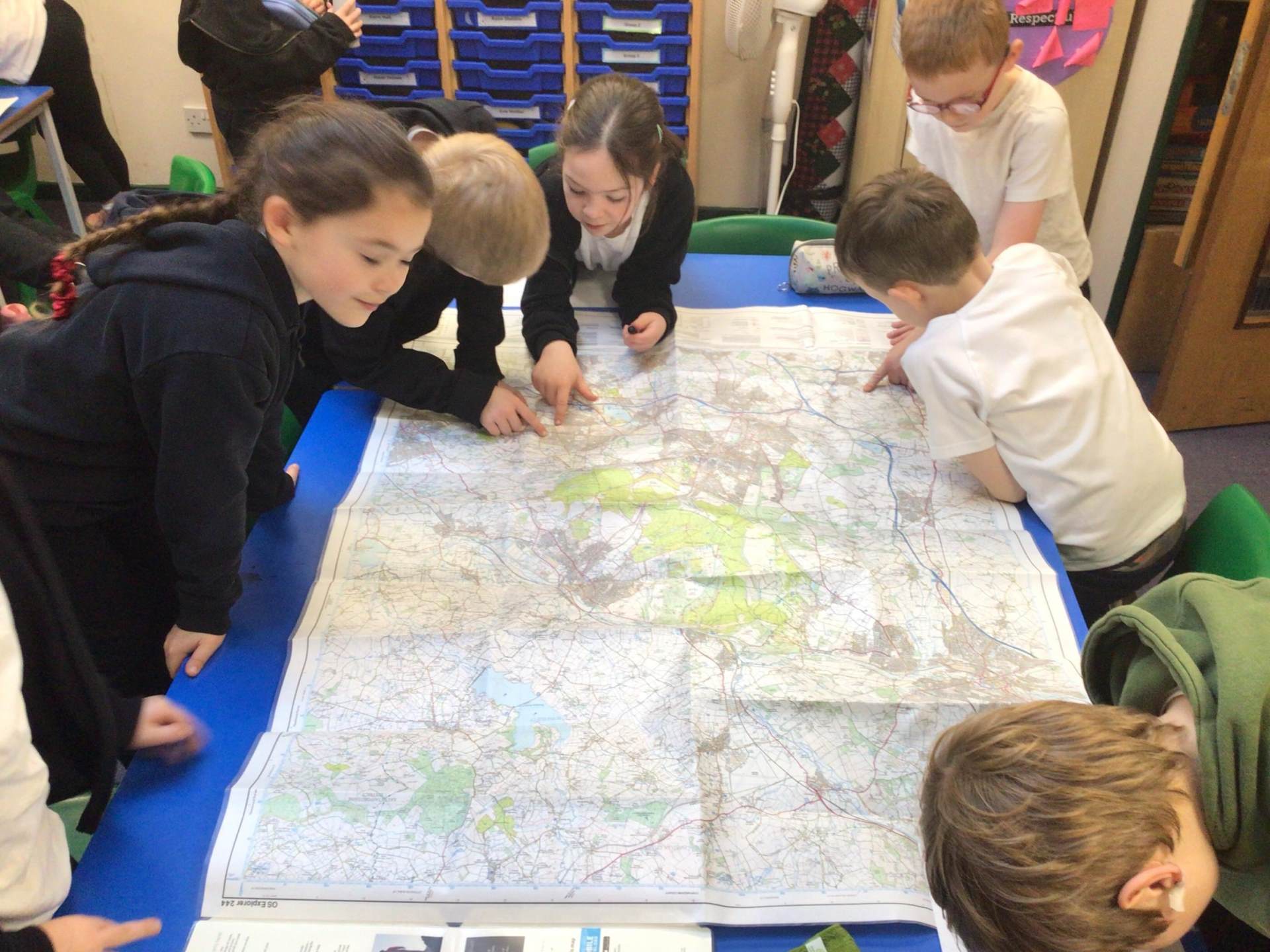
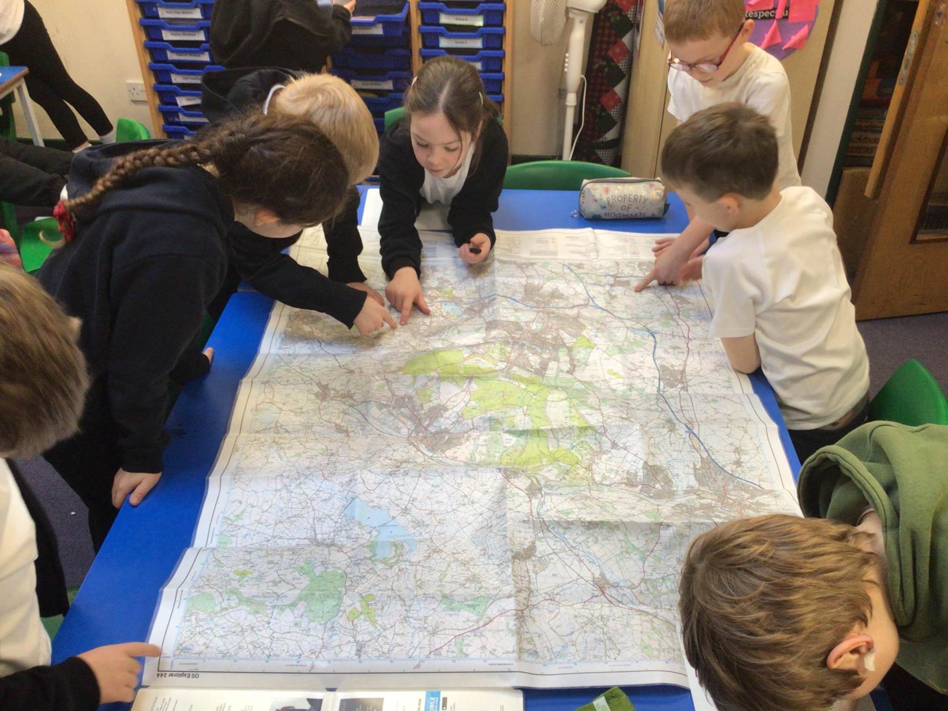
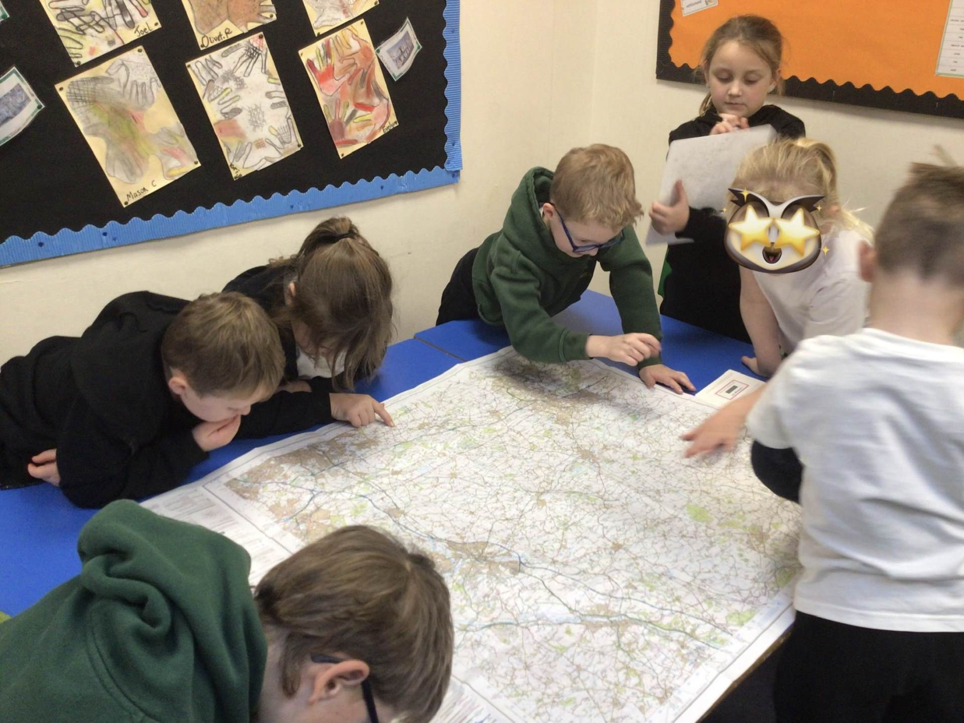
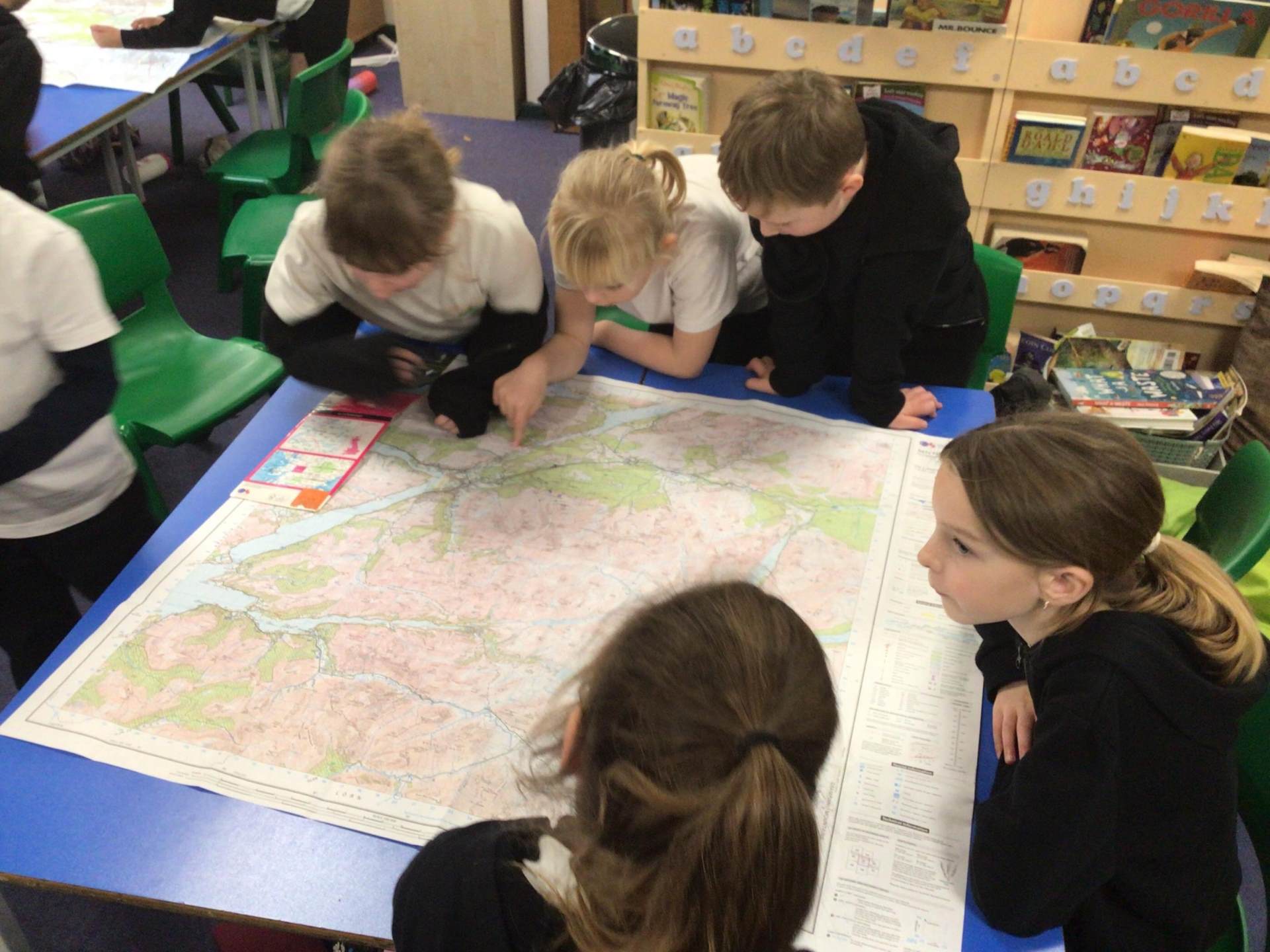
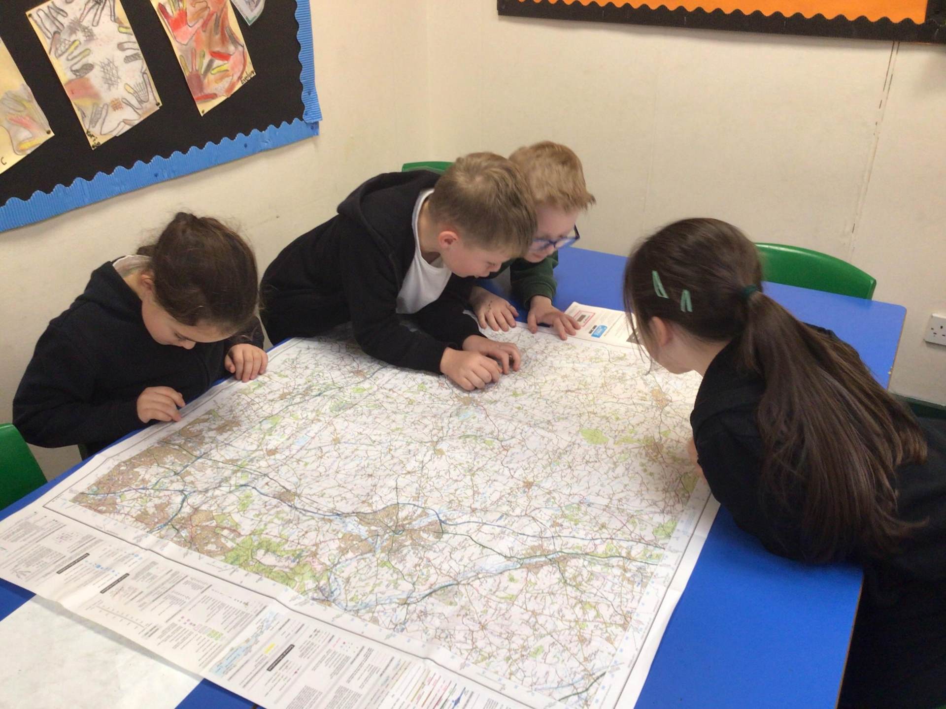
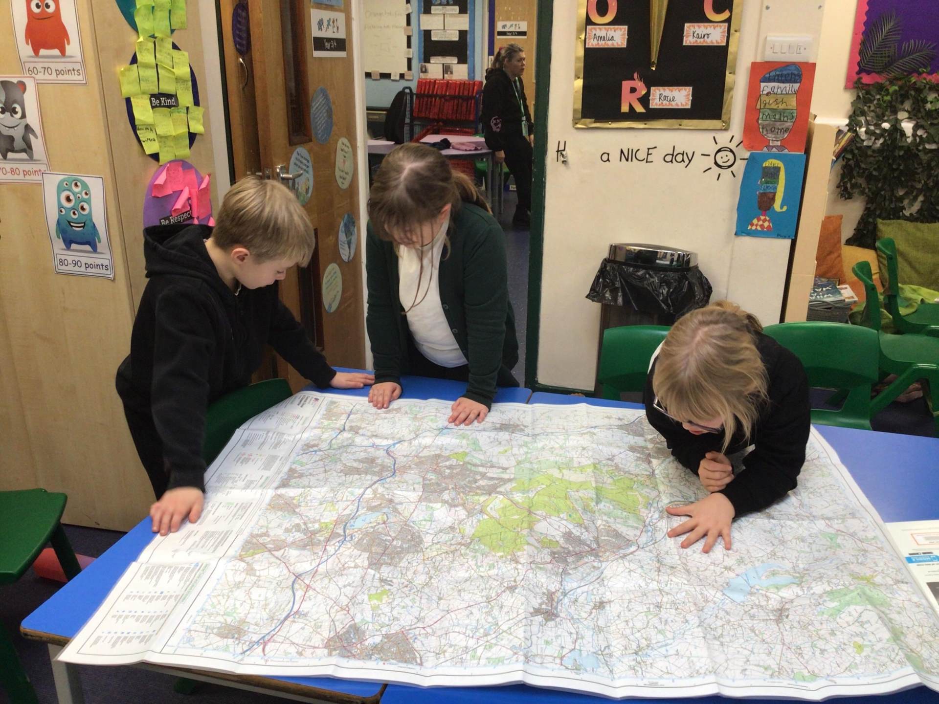
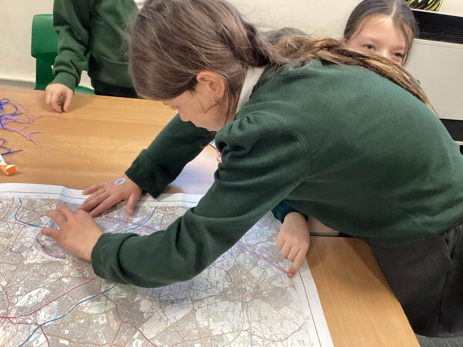
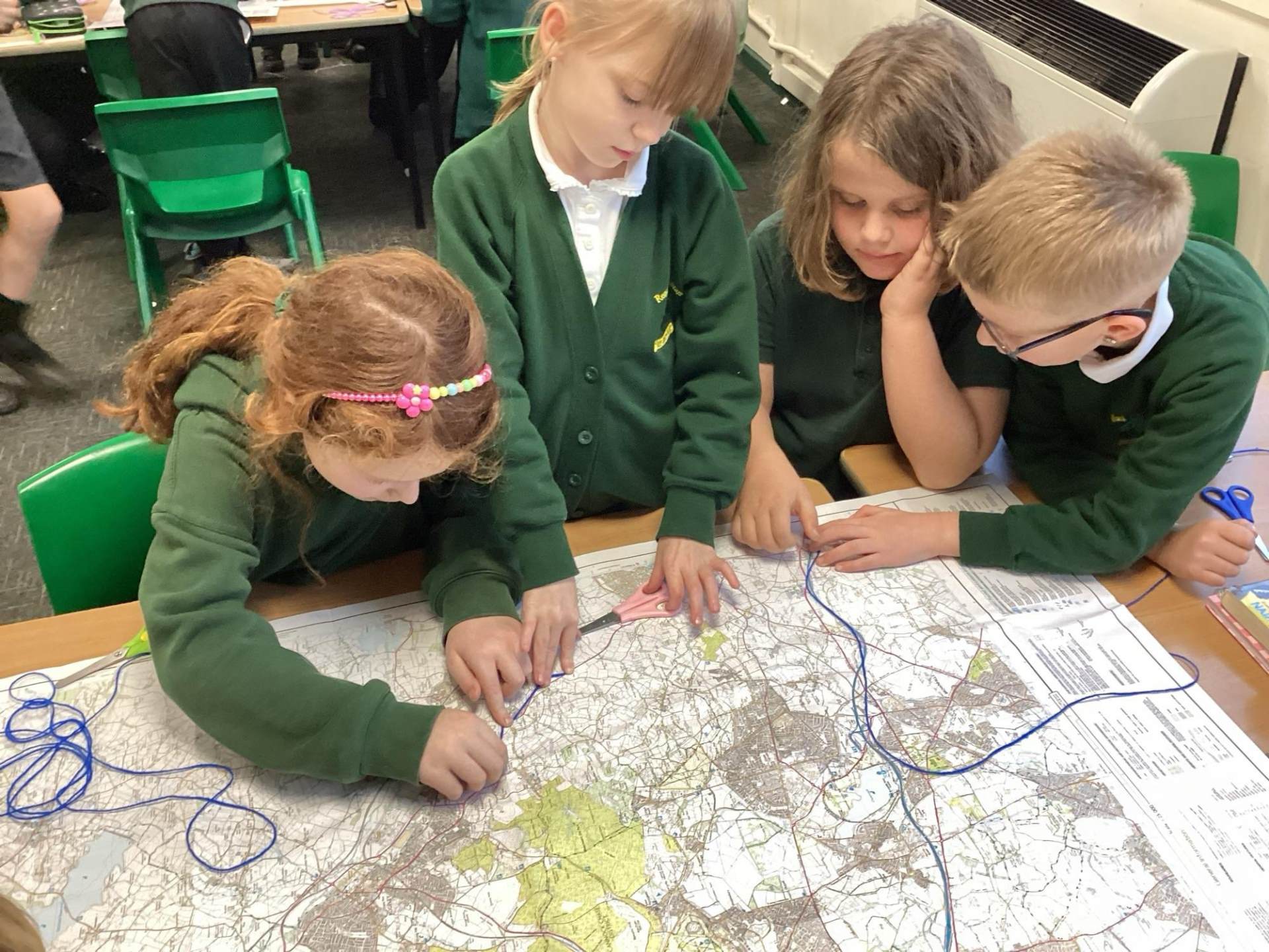
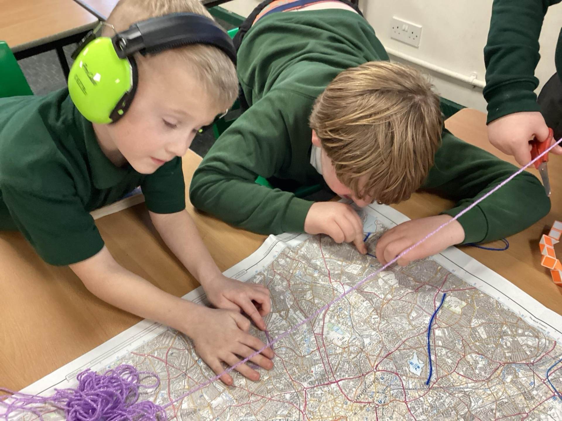
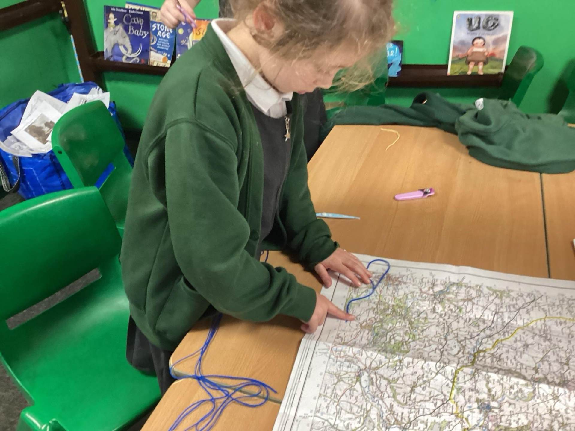
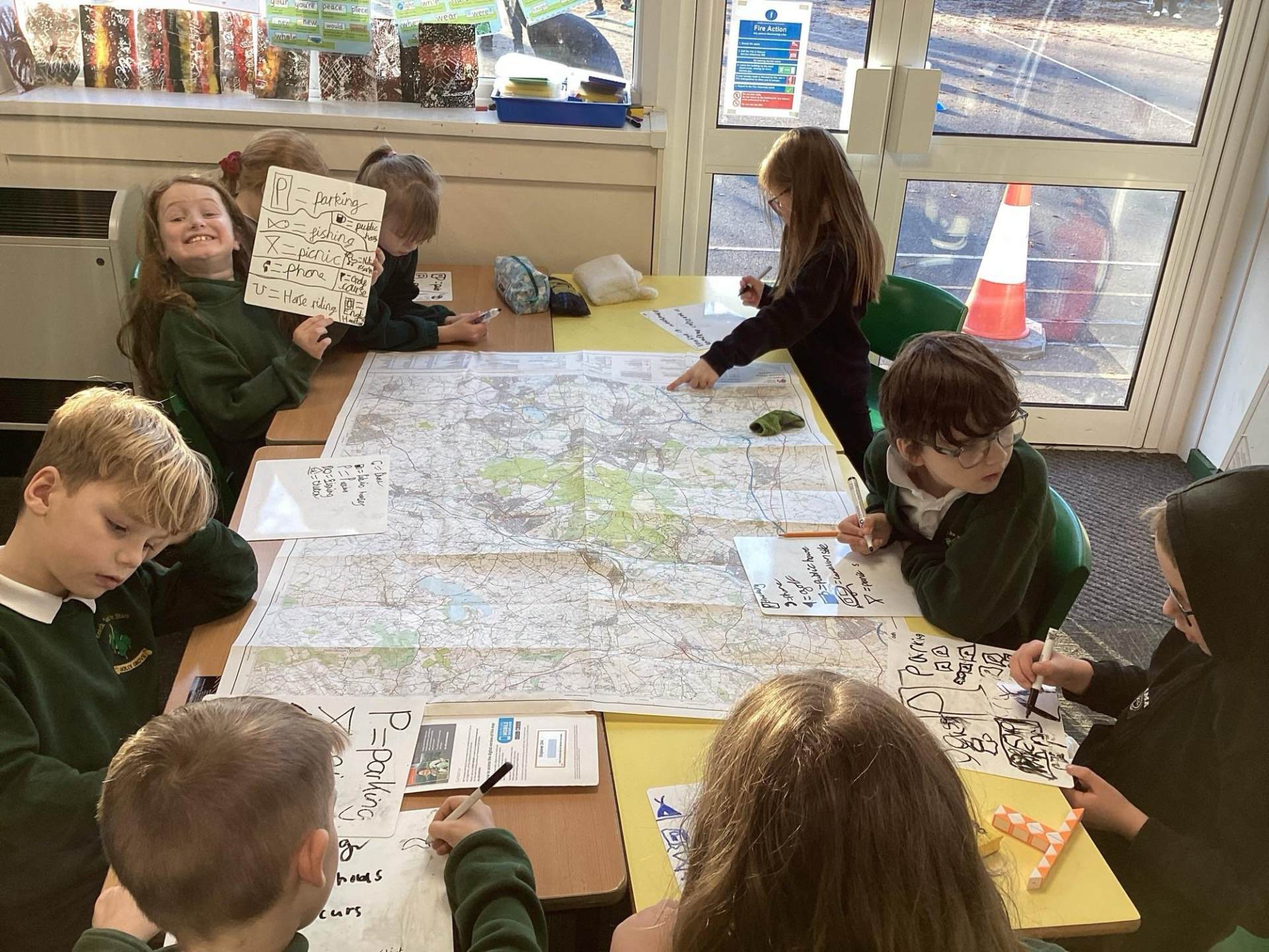
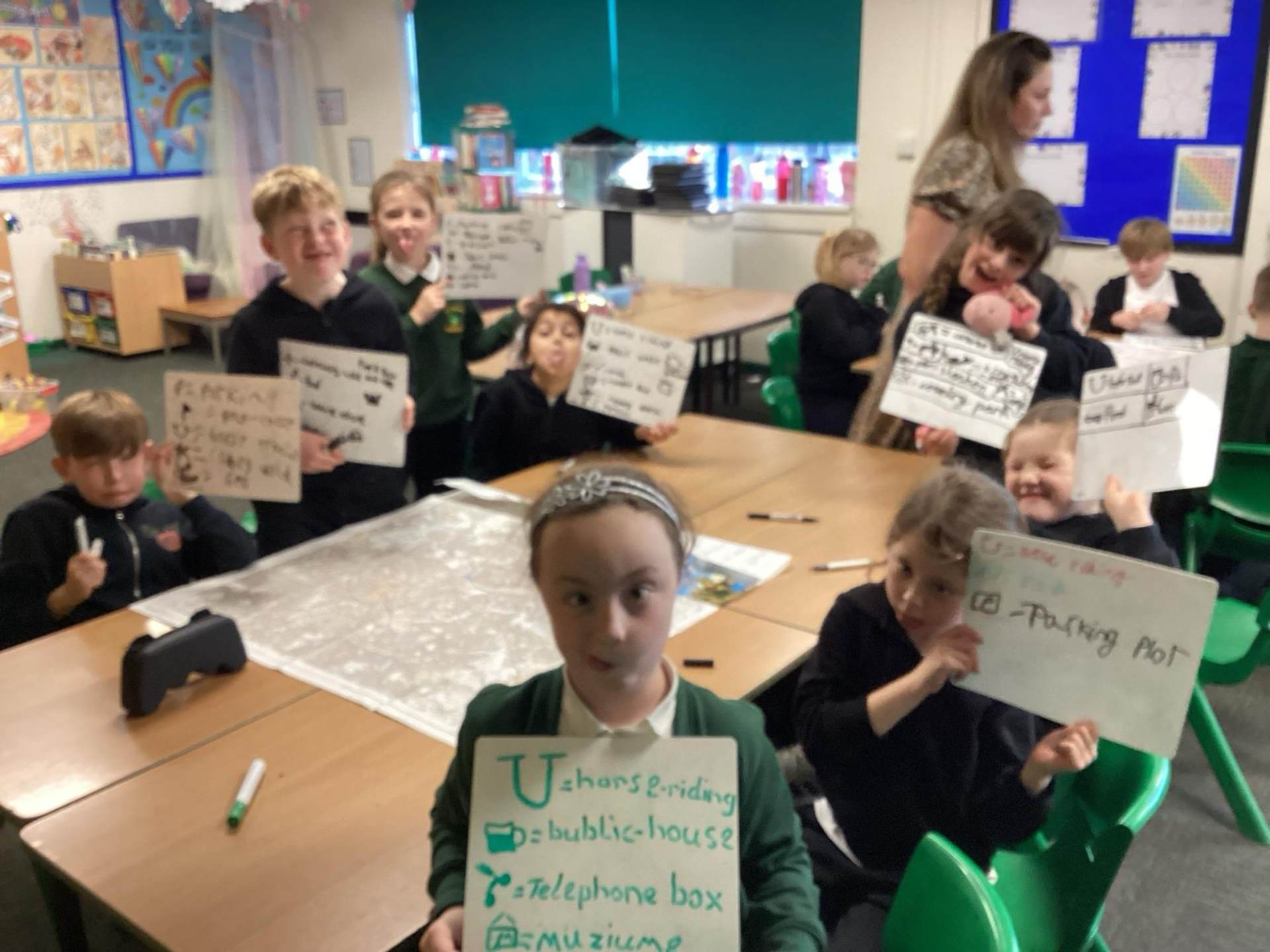
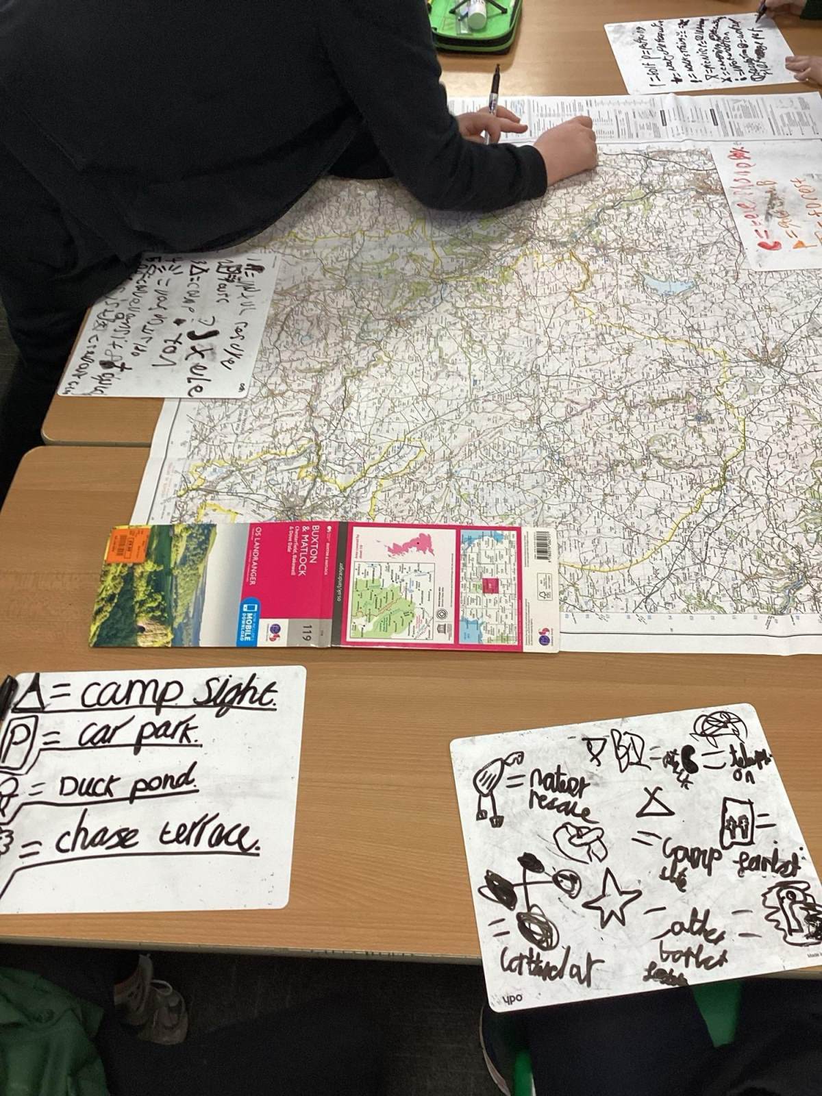
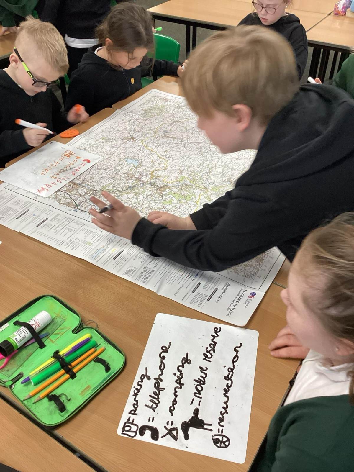
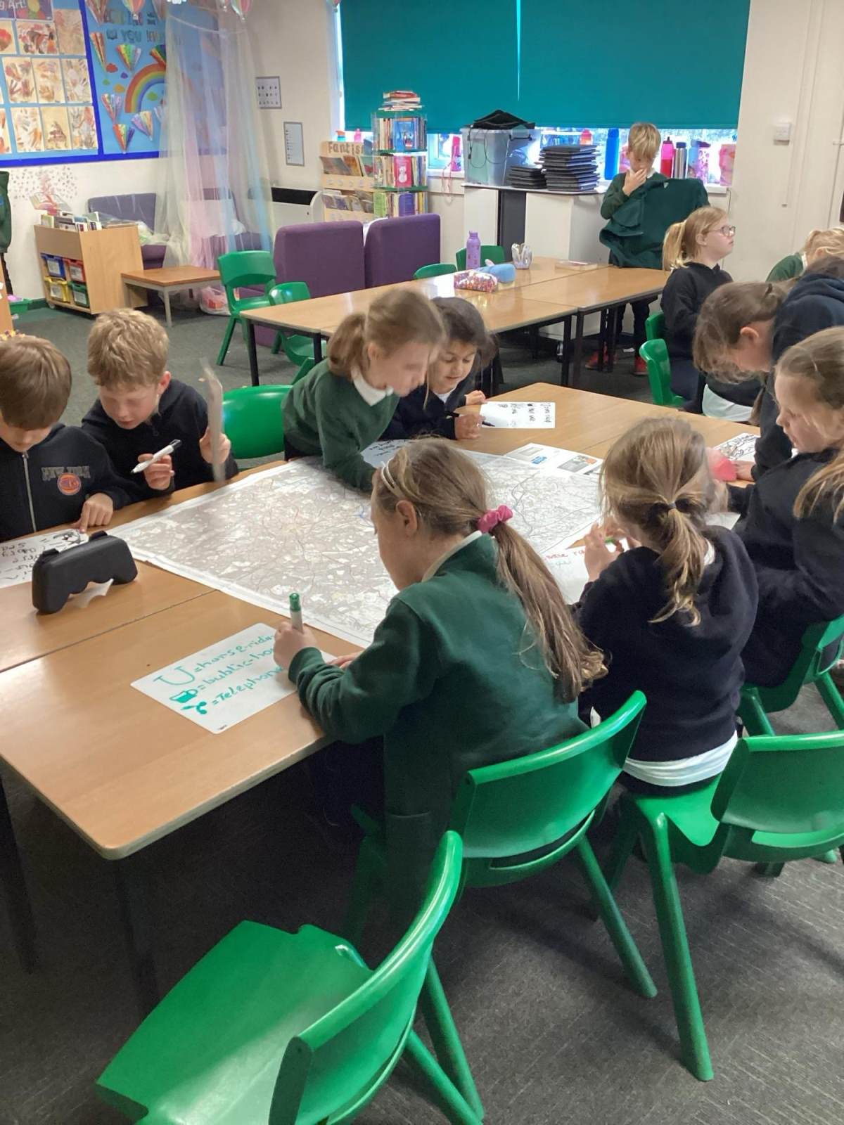
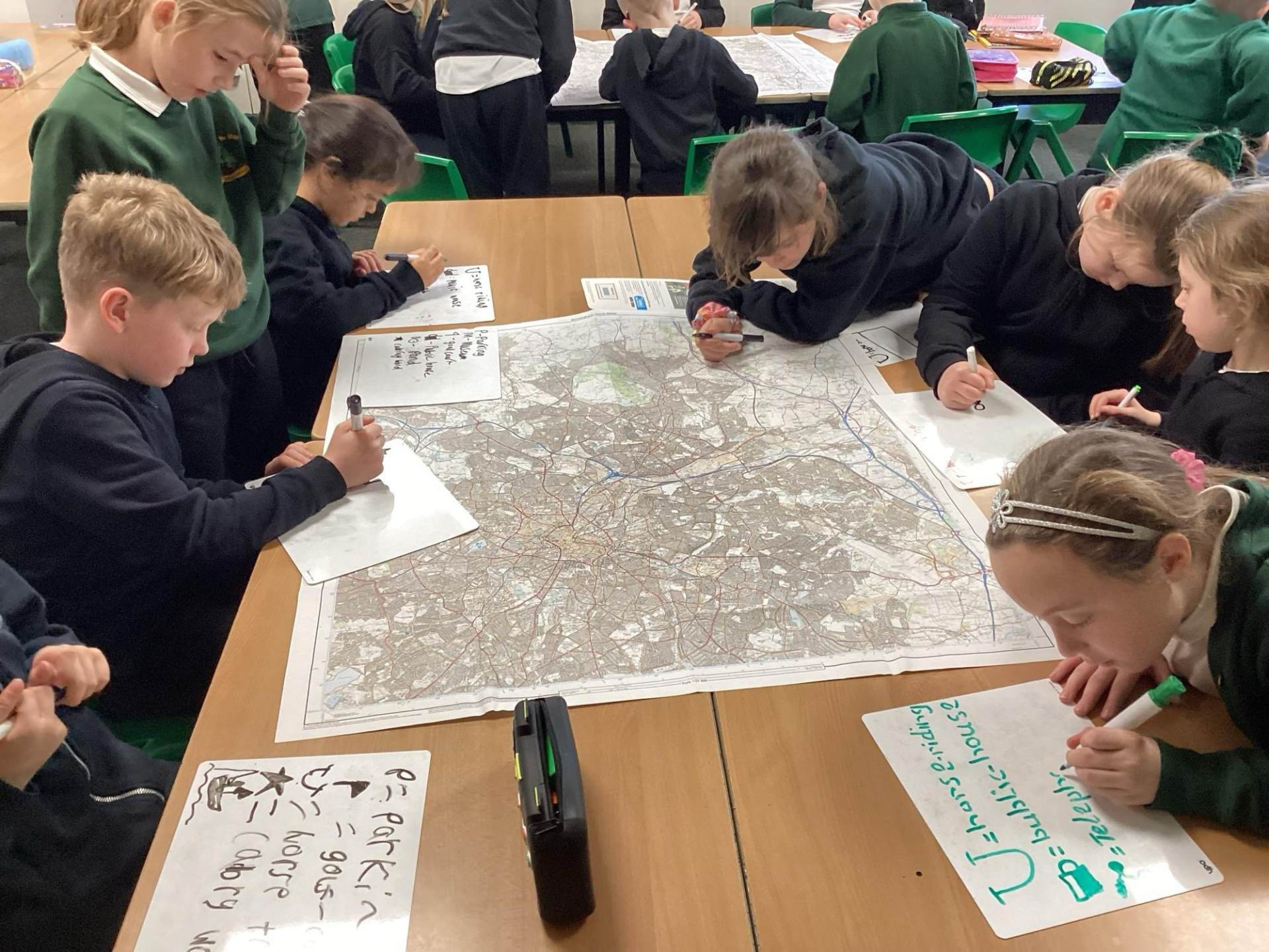
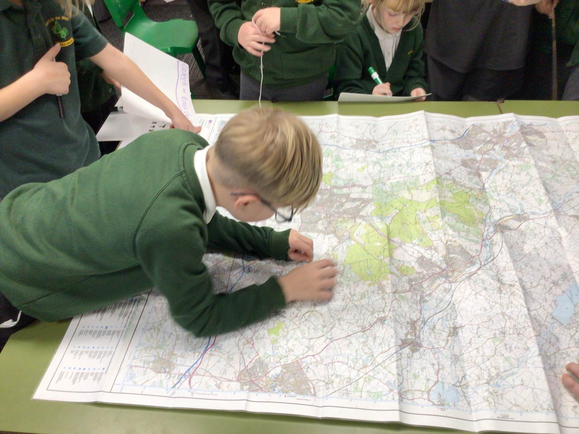
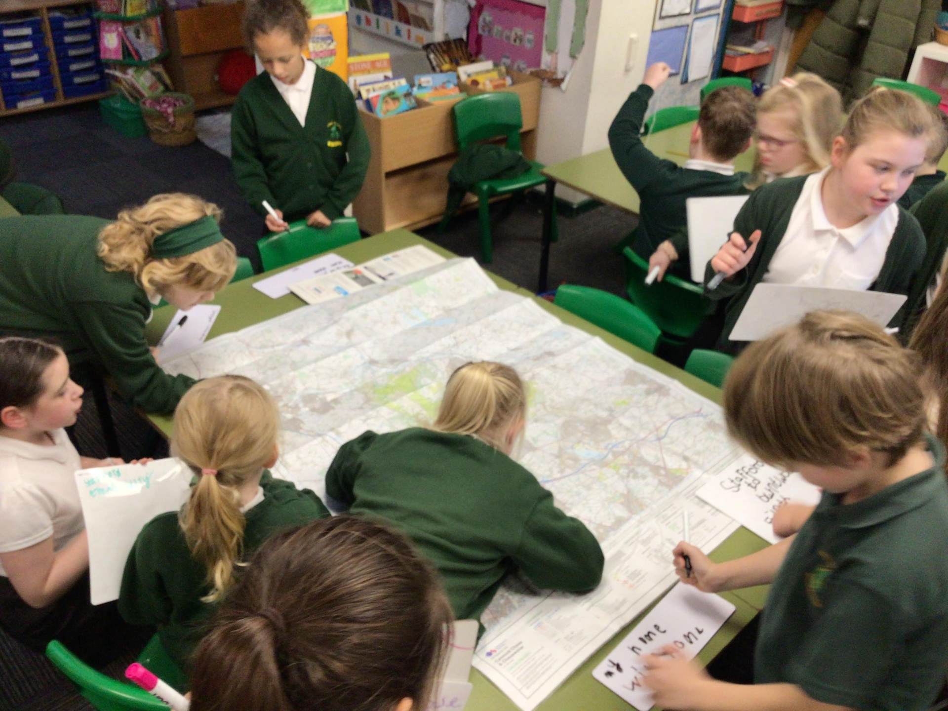
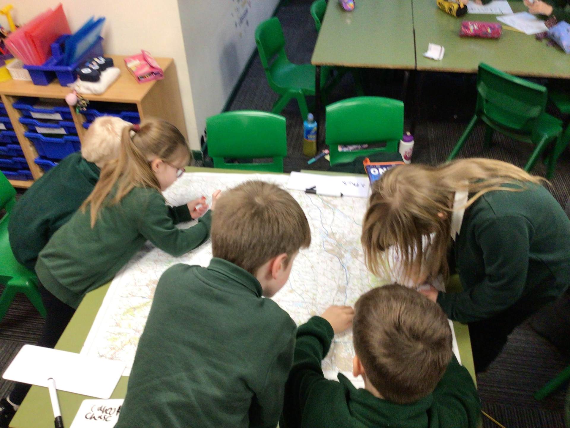
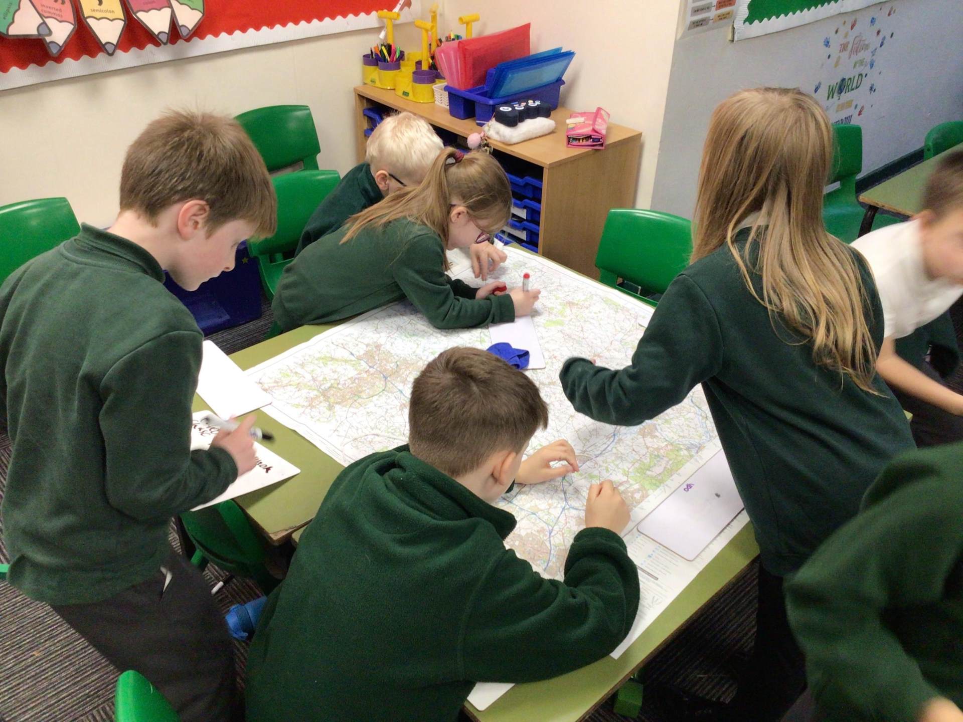
Year 3 and 4 had a fantastic time in their recent Geography lesson, diving into the world of Ordnance Survey maps. Working in groups, the children explored a range of maps and learned how to read the key symbols that help us understand features such as roads, rivers, forests, and landmarks.
They were fascinated by the differences in terrain and facilities shown on the maps of Cannock Chase, Telford, and even the dramatic landscape around Ben Nevis! Comparing these areas sparked lots of discussion about how geography shapes the places we live and visit.
As well as reading the maps, pupils mastered the practical skill of folding them correctly—an important step in keeping them safe and ready for next time.
Why is learning about maps so valuable?
- It helps children develop spatial awareness and understand how places connect.
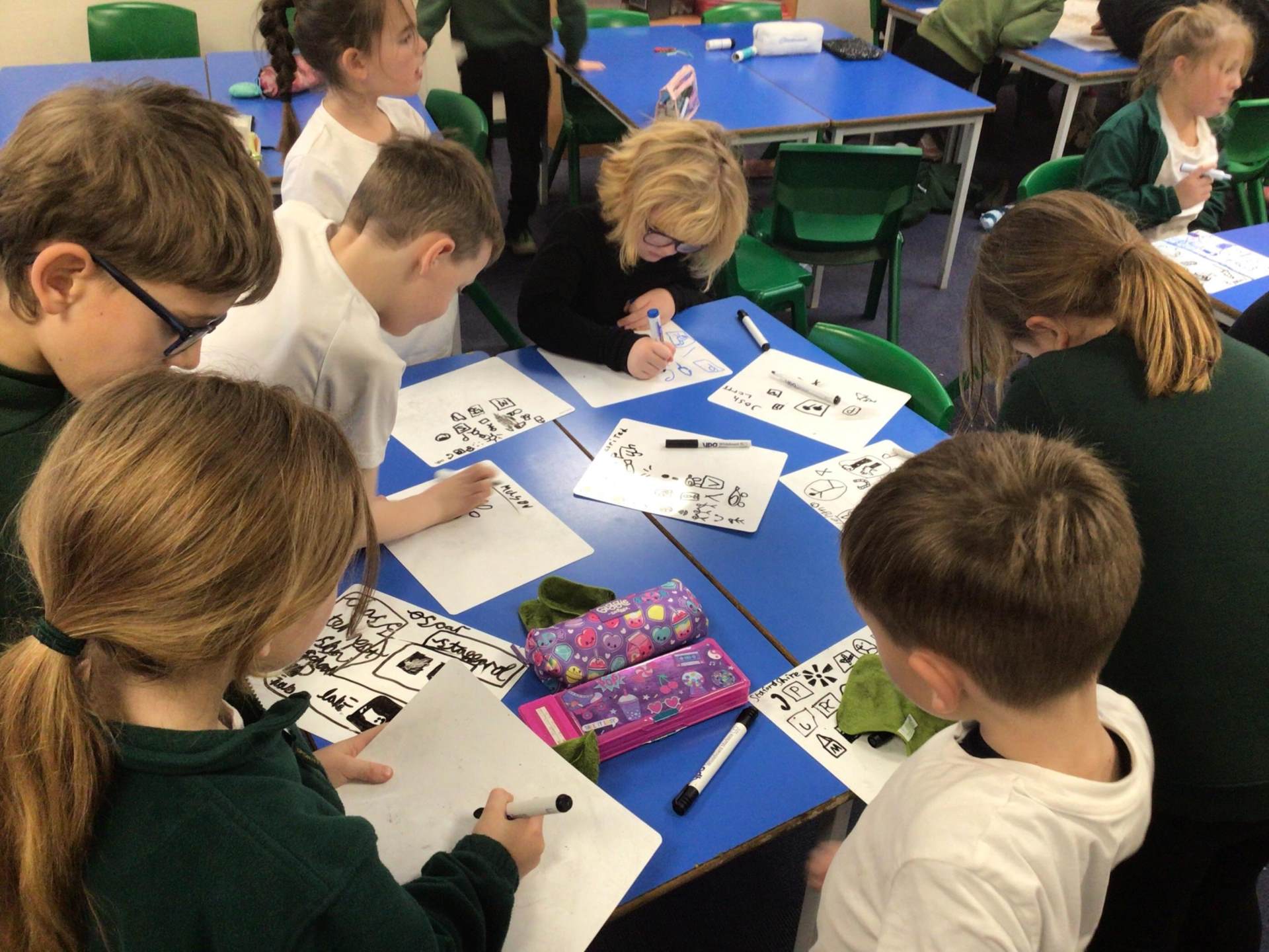
- They learn to interpret symbols and scales, building problem-solving and critical thinking skills.
- It encourages teamwork and communication, as pupils share ideas and work together to navigate.
- Most importantly, it gives them confidence to use maps in real-life situations, from planning walks to exploring new places.
The classroom was buzzing with excitement and curiosity—well done, Year 3 and 4, for your brilliant teamwork and enthusiasm!
Year 3/4 Geography Ordnance Survey Maps